
Lancaster ZIP Coverage
USPS material confirms one serving postal code for the municipal Lancaster scope researched here: 43130. That finding is deliberately narrow. No second postal code, unique code, or post-office-box-only code was verified for the city scope. A full address still needs a USPS check, because postal geography is designed for delivery and does not track the City corporation boundary.
| ZIP | Areas Covered | Post Office | Notes |
|---|---|---|---|
| 43130 | USPS-confirmed Lancaster municipal scope | Lancaster Post Office, 204 S. Broad St. | Postal area is not a City-boundary layer. |
| Other postal codes | No additional municipal coverage verified | None verified for this scope | Check an actual address before inferring inclusion or exclusion. |
The USPS Lancaster Post Office listing identifies the 43130 relationship and the local post-office location.
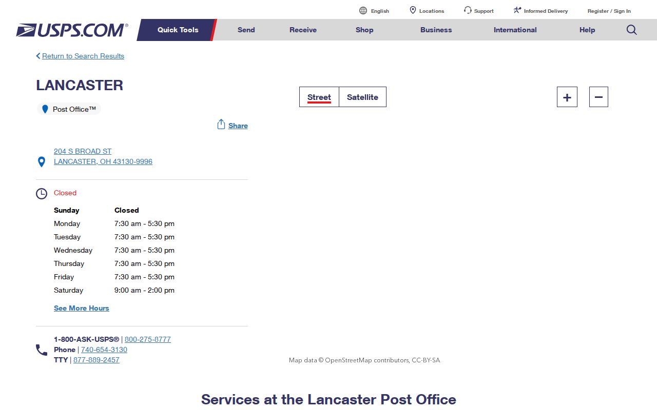
The listing supports the postal connection. It does not decide whether a parcel is inside the City of Lancaster or who is associated with an address.
Check a Lancaster ZIP Address
Use USPS before searching a county record. The official lookup supports address lookup, city-and-state lookup, and cities-by-postal-code lookup. Submit a full street address rather than a person's name. Preserve the standardized address, city, state, delivery code, and ZIP+4 if it is returned. The result validates delivery formatting, not ownership, jurisdiction, or occupancy.
- Enter the complete street address in the USPS ZIP Code Lookup and save the standardized delivery form.
- Enter the address components in the Fairfield County Auditor search, then save the parcel's PIN or PARID and its physical address.
- Use the GIS parcel and corporation-boundary layers to test whether the location is in the City, another corporation, or a township.
- Compare the physical address, tax-mailing fields, and legal description before using a Recorder, City, or county-office route.
See the USPS address lookup source before starting a Lancaster postal search.
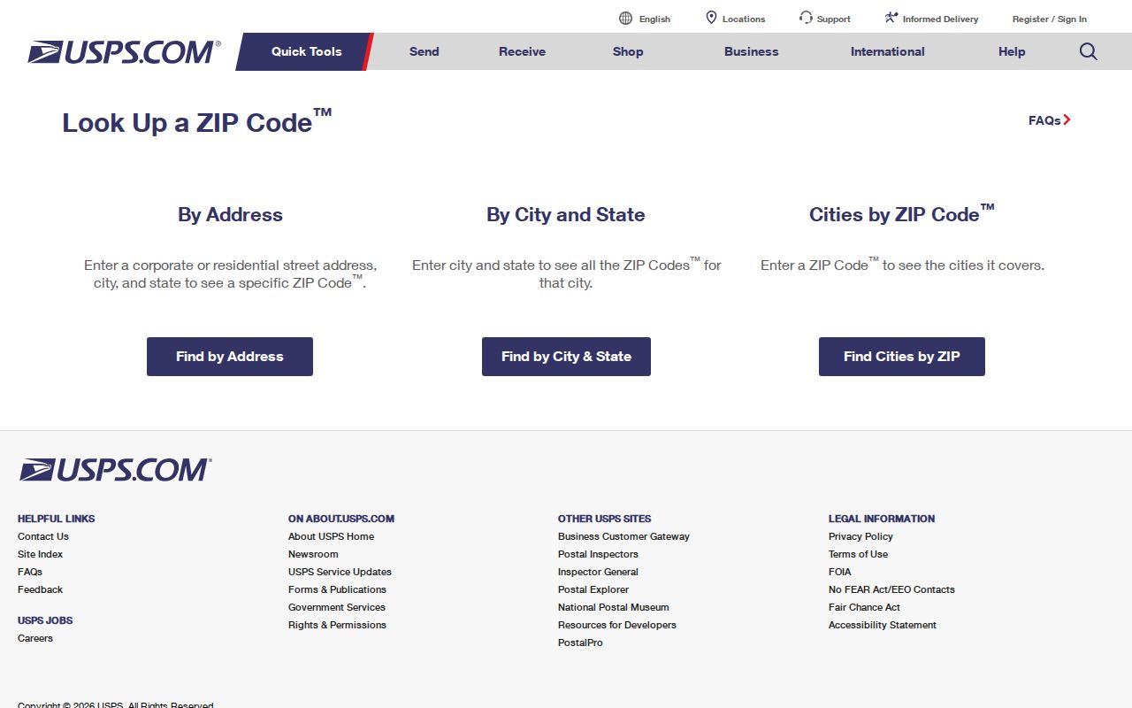
The USPS tool is the delivery checkpoint at the front of the process. Parcel and City-boundary work follows separately.
Note: A delivery result can look like Lancaster while the parcel still requires a county or township jurisdiction check.
Find Lancaster Records by ZIP
A postal label can narrow an address problem, but Fairfield County's public Auditor form does not provide a postal-code field. Its address query uses House #, Direction (Abbv), Street Name, and Street Type (Abbv). Its Location group provides Tax Districts, City/Township, School Districts, Neighborhoods, and Subdivisions. Use City/Township and the map layers for jurisdictional narrowing instead of treating a postal code as a municipal filter.
| Official Search Field | Available? | Proper Postal Use |
|---|---|---|
| ZIP field | No | Do not claim a ZIP-filtered Auditor result. |
| House #, Direction, Street Name, Street Type | Yes | Use the USPS-standardized components to locate a parcel. |
| City/Township and Tax Districts | Yes | Use for jurisdiction and tax geography, not mail delivery. |
| Neighborhoods and Subdivisions | Yes | Use as assessment or map context, not a people directory. |
| Owner Name and Parcel Number | Yes | Use after a valid parcel or assessed-owner lead exists. |
The county GIS layer includes the tax-mailing MZIP1 field, but its physical address, legal description, ownership, and parcel fields remain separate. Once a postal search has narrowed the question to a road address, use the Lancaster street directory route for the parcel and land-record sequence.
Lancaster Mailing ZIP Parcel Count
A reproducible Fairfield County GIS query for MZIP1 equal to 43130 returned 25,041 parcel records at inspection. This is a countywide parcel mailing-ZIP count. It is not Lancaster's population, not a count of residents or homes, and not proof that each parcel is inside the City. The public GIS response is also capped at 1,000 records, so a raw result set cannot stand in for a complete postal directory.
This is the key postal-count myth to avoid: a number attached to a mailing field does not measure the City or a neighborhood. Constrain the result with the corporation-boundary layer or City/Township criteria when the question is municipal geography. Compare the physical site, mailing fields, and legal description rather than assuming they describe one thing.
The Census QuickFacts page for Lancaster illustrates a separate municipal-statistics source.
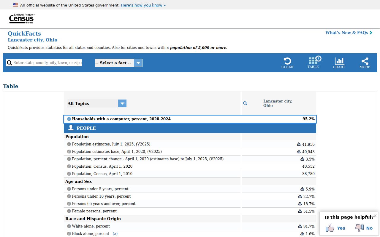
City statistics and the 25,041 mailing-field count answer different questions, so neither should be substituted for the other.
Lancaster ZIP Location Keys
Several location labels can appear on one property record. Keeping them apart prevents a mail route from becoming a conclusion about land or a person. The county parcel data explicitly separates site, mailing, legal, ownership, and transfer information. Record the labels as they appear and pair them with a search date.
- ZIP and ZIP+4
- A delivery-sorting code and its added delivery detail. USPS confirms formatting; neither is a parcel identifier.
- Postal mailing address
- The destination for correspondence. On the GIS layer, it can differ from the physical parcel site.
- Situs address
- The physical property location, useful for Auditor, GIS, and City record requests.
- Legal description
- The recorded land wording used to connect lots, plats, deeds, and changing street references.
- Carrier route
- A postal delivery-routing concept, not a City-limit line or a resident roll.
A post-office-box code and a unique institution code are distinct postal concepts, but neither was verified as an additional code serving municipal Lancaster. Do not add one without an address-specific USPS result.
Lancaster ZIP Boundary Myth
The common shortcut is wrong: a Lancaster postal label does not establish that a parcel is inside Lancaster City limits. USPS explains that postal boundaries do not necessarily follow municipal boundaries. Fairfield's GIS makes the separation visible through address points, road centerlines, corporation boundaries, parcel boundaries, subdivisions, and township layers. Use the appropriate layer for the question being asked.
For a land-record question, begin with the parcel and legal description. For a City-held permit, planning, or code record, identify the City custodian and give a precise address and time window. For property outside City limits, the county office may be the correct route even when delivery uses a Lancaster postal label.
The USPS explanation of ZIP geography gives the postal boundary caution.
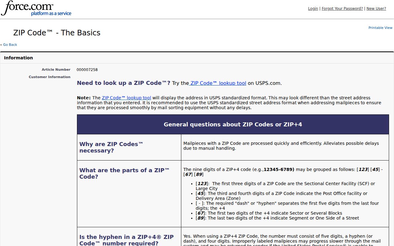
The postal guidance reinforces the need to check the county's corporation and township layers before describing an address as inside the City.
Note: County records serve a wider geography than the City, so an office address in Lancaster does not make every county parcel a City parcel.
Lancaster County Record Routes
Lancaster is the Fairfield County seat, which makes several county resources physically convenient without merging their jurisdictions. The Auditor begins the parcel search. GIS staff and the Map Room handle parcel and map questions. The Recorder receives land-instrument questions after the parcel trail has produced a legal description, Book/Page, or instrument number. The City is a separate custodian for its own Building, Code, planning, and other municipal records.
For a current delivery question, USPS or the local Post Office is the first channel. For a parcel, township, tax, or corporation question, use the Auditor/GIS route. For a legal-property bridge, take the legal description or deed lead to the Recorder. A dated historic-house question may need the library, Ohio Genealogical Society, Heritage archive, or Library of Congress Sanborn material rather than a current postal search.
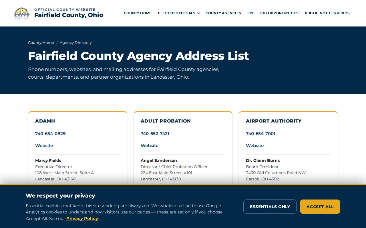
The Fairfield County agency directory helps identify the county office responsible for a record.
Choosing the custodian by record type keeps a postal question from being sent to the wrong office.
Lancaster Historic ZIP Addresses
Postal geography is present-day delivery geography, so older address research needs a dated companion source. City history identifies New Lancaster as the earlier place name before the legislature shortened it to Lancaster in 1805. It also describes the early grid around Chestnut, Main, Wheeling, and Mulberry streets. These are useful historic search terms, not substitutes for a current postal result.
Front Street is documented as today's Memorial Drive, and a separate clue identifies Old Sugar Grove Road as Ford Street in a defined area. Treat both as narrow continuity leads. Confirm a possible match with a plat, legal description, map, dated directory, or recorded instrument. A postal result alone cannot bridge an old street reference to a current parcel.
Lancaster ZIP Search Limits
A ZIP identifies mail-sorting geography. It does not identify everyone at an address, prove ownership, determine a City boundary, or turn the parcel layer into a household directory. Mailing fields can point to a post office box, agent, business, or another address. Registered-voter data also has statutory confidentiality limits, and utilities, protected court materials, Safe at Home data, and motor-vehicle personal information remain outside a postal search.
Use precise, official records for a personal, lawful purpose, and respect their limits. If a search is about a parcel, preserve the PIN or PARID. If it is about a recorded transfer, preserve the legal description and instrument reference. If the online result is incomplete, contact the custodian or the local historical repository for the relevant record era rather than filling the gap with an assumption. The Fairfield County records hub also cautions that some material is not viewable online. A postal lookup cannot resolve that access gap, so keep the address, record type, date range, and custodian together when asking for help.